ATV Guy checking in...............
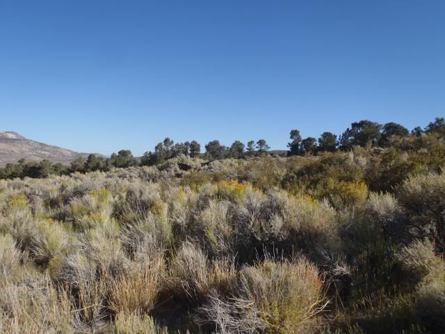
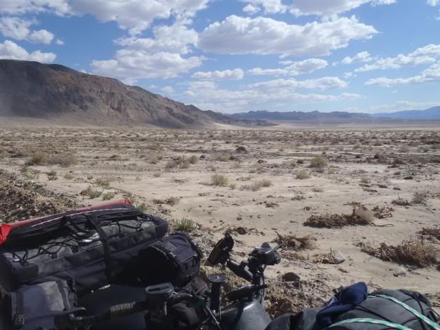
I had a few days off last week and I wanted to get out and do some exploring. I have NEVER gone out alone before. I probably won’t do it again but it was a great 3 days! It was actually kind of nice not having to keep a bunch of people in tow. I stopped whenever I wanted to take pictures or get a closer look at whatever I came across. At night, I was able to completely relax and just enjoy the stars, great weather (no wind and high 40s). I didn’t even have to pitch my tent either night. While I have been exploring Esmeralda County for years now, I got to see some new sights I hadn’t been to before. I’m still not done with the place. There is still YEARS worth of things yet to be explored. All in all, it was a great little trip. I say I probably won’t do it again because mid way through my second day, I realized just how dangerous this was. It’s one thing to go out around Vegas alone but when you are out with a 50 mile hike to the nearest help if you have a breakdown or worse, get hurt, you feel a little “Exposed”. In any case, I wanted to share some pics with you guys.
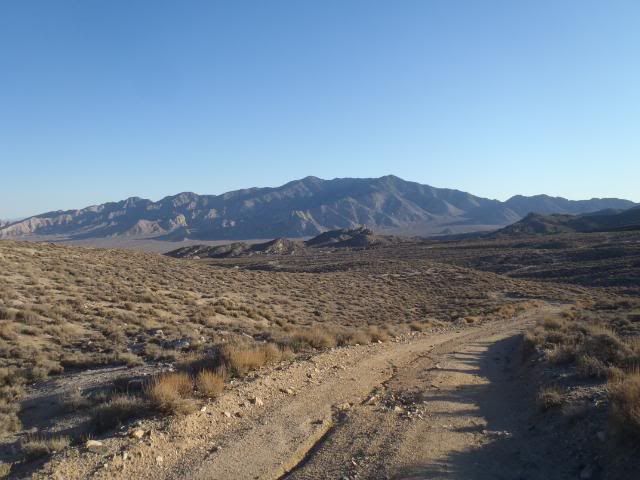
My plan was to leave early Wednesday and get up to Goldfield by noon to unload. I got a little later start than I wanted to and ran into some unexpected construction along the 95 and got stuck a couple of times waiting for pilot cars due to it being down to 1 lane. Oh well, I finally got unloaded and on my way around 3ish and headed to Coyote Pass.
I’ve been through the pass countless times but I have never visited Valcalda Springs near there. I always wanted to see it since it is one of the few significant parcels that is still in private hands. Before leaving Goldfield, I ducked into the Assessor’s office and the lady there helped me look through their county records (All paper and still in bound books!) and I found it. It is owned by a mining company. I might have to call them sometime and see if they are interested in selling
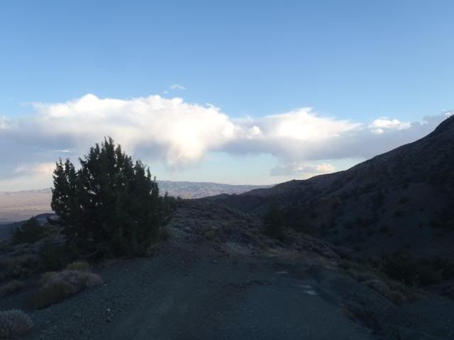
I didn’t make it to the springs before nightfall but I found a nice little canyon nearby and set up for the night. I kicked back and had a good dinner and watched movies on my iPad. I was really roughing it
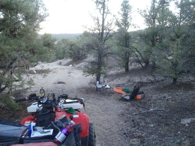
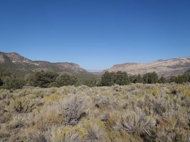
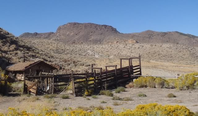
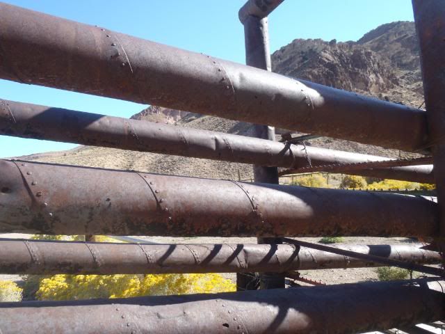
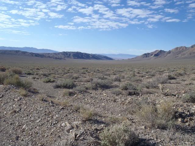
I slept well and woke up just as the sun was coming up. I took my time getting everything loaded up. Had a good breakfast and headed out around 8. I found the springs after about an hour of triangulating back and forth using the GPS and it was great. It was very lush and green. Really pretty with lots of evidence of past mining and ranching activity hidden among the high vegetation but nothing recent.
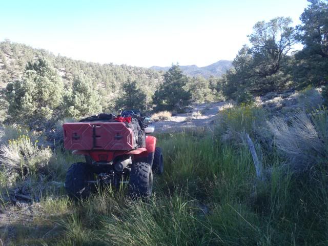
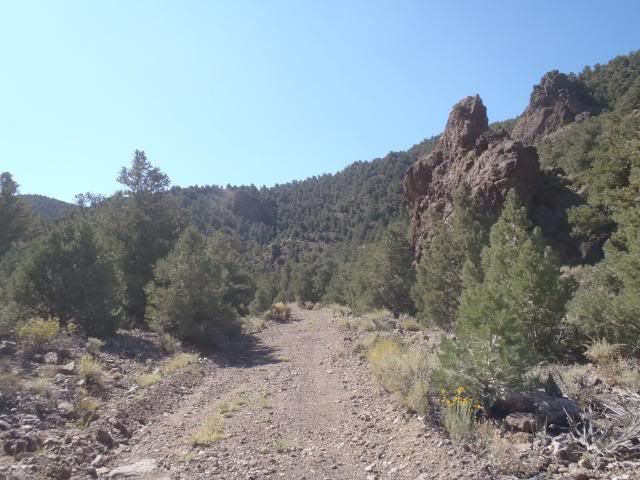
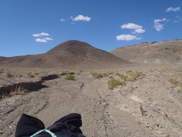
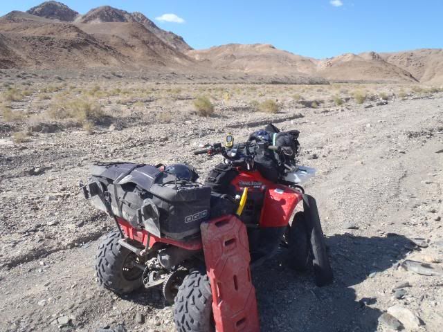
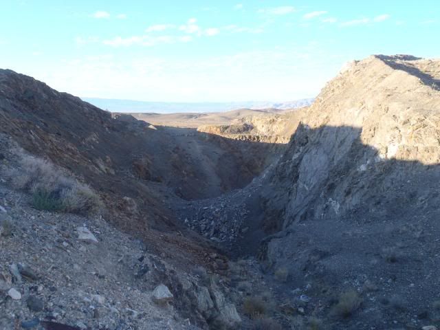
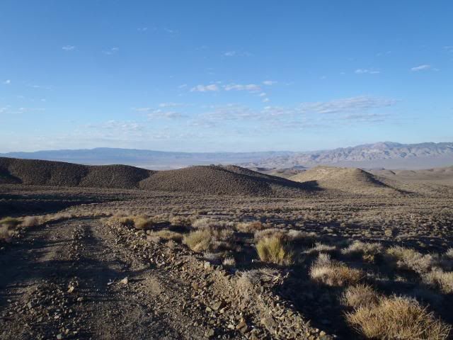
I then started meandering back and forth exploring some roads I had never been on. I decided to run Argentite canyon from the north entrance. I have run it before but always from the south side. It’s about 2000’ climb from north to south. The “road” is a solid Class 4-5 on the Massey scale. With the uphill grade, it was very challenging on my heavily loaded quad. I shot video of the last 2/3. I apologize that my gear is blocking most of the view of the trail but I didn’t feel like moving everything around but you should get the idea.
http://www.youtube.com/watch?v=EK32mqVTgzY
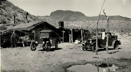
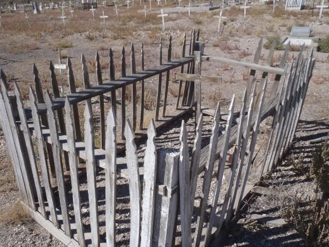
Once getting to the other side of the Silver Peak Range, I then headed NW towards Weepah. This is another site I have always wanted to visit. Weepah is a great story of one of the last true gold rushes. It grew out of nothing almost overnight and then died a few years later. If you haven’t heard of it before, spend some time on Google and check it out.
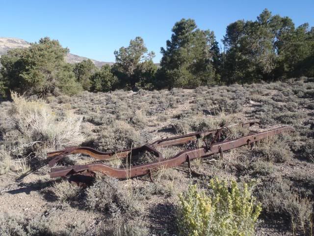
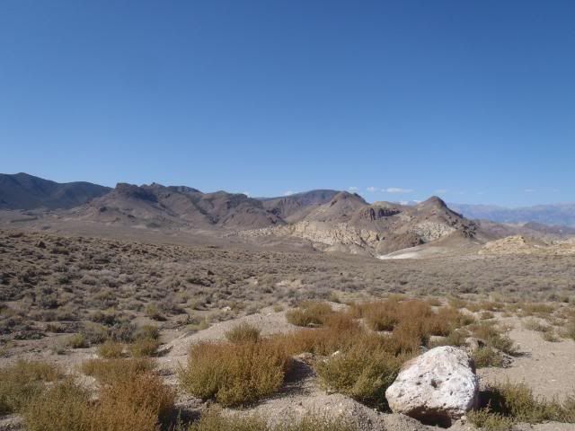
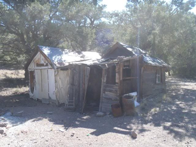
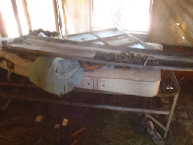
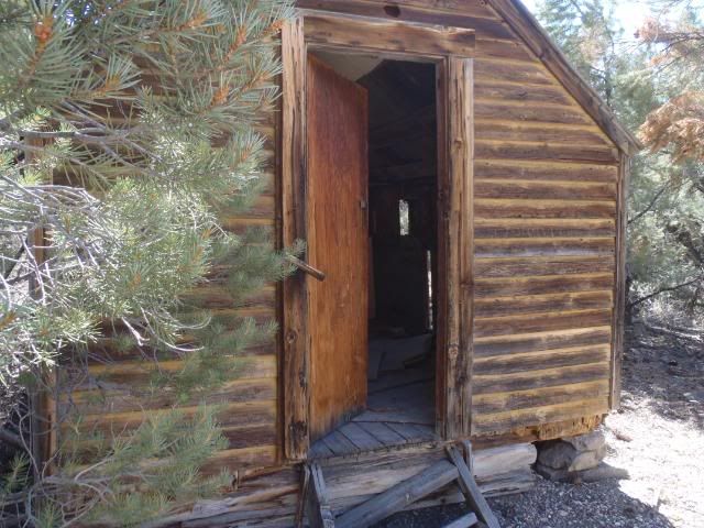
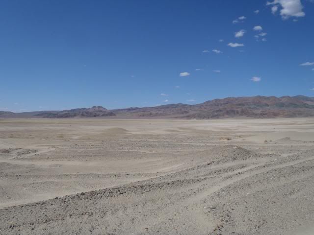
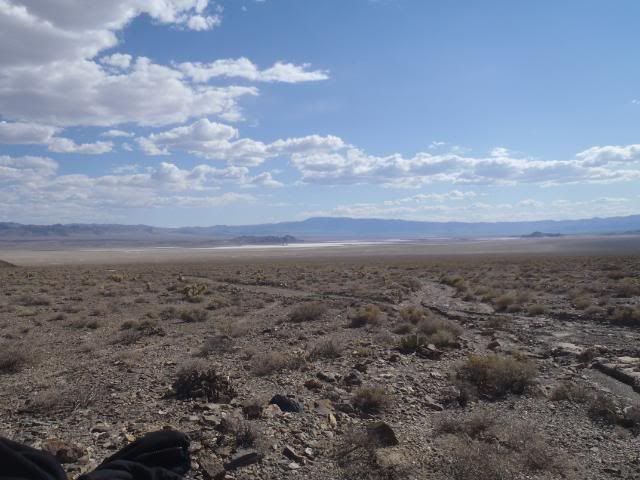
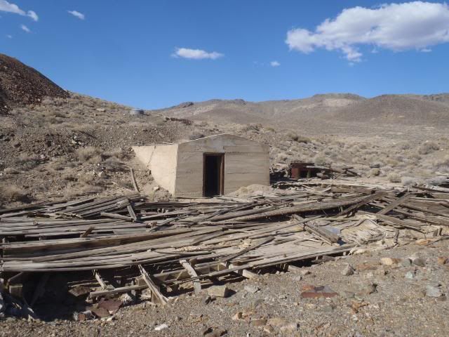
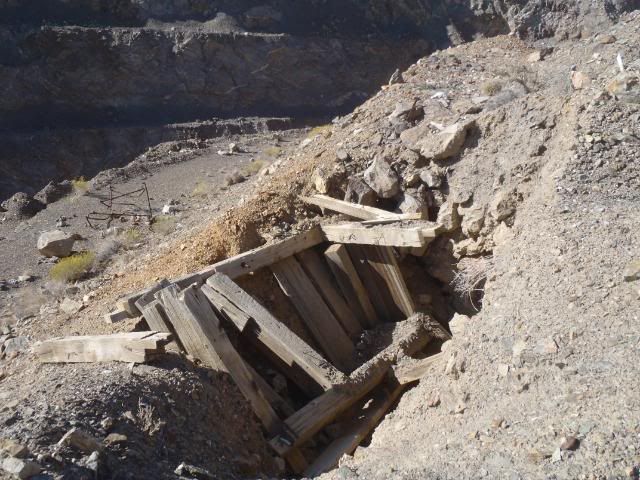
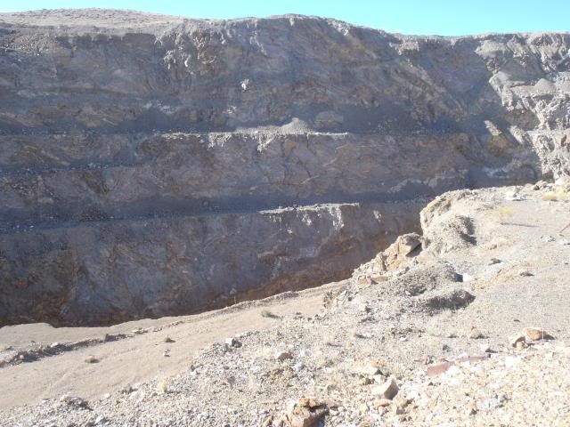
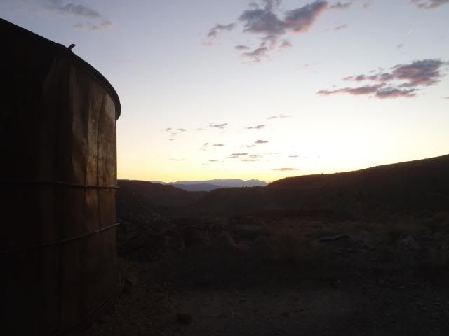
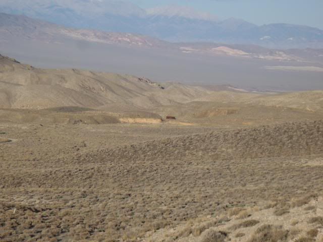
I lost the road a few times during this part of the trip. It just disappeared due to washouts etc. For a few miles, I was over landing using GPS. Once I found it again, I was in Weepah in no time. Not a whole lot left but it was still very interesting. The concrete power house is still standing but a lot of collapsed buildings and foundations otherwise. I didn’t expect the enormous open pit there. Apparently in the mid 30’s, they started blasting and digging. The pit that is left could easily float a WW2 Aircraft Carrier if it was full of water. I never did get close enough to see the bottom.
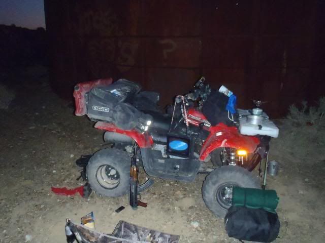
I camped here for the night. In case the wind picked up during the night, I camped next to the Water Tank. I could always move inside if it got too bad but it was dead calm all night. The next morning, I headed out early and made my way back to Goldfield via Paymaster Canyon and loaded up by early afternoon and headed back to Vegas.
Total mileage for the trip was 190 miles. Thanks for letting me share…………………..